Historic Barn Laser Scanning & Modelling to LOD 400
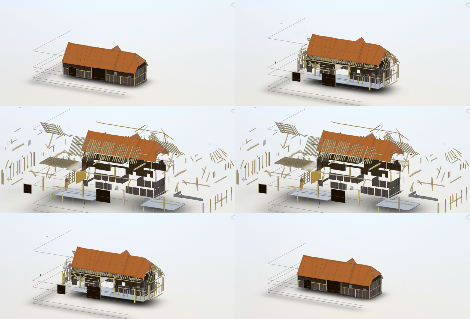
The project involved laser scanning of two historic barns, Grade II listed and the production of an LOD 400 Revit Model.
Dating from the 17th century, both barns are beautiful timber-frame structures with old tiled roofs, and a traditional weather-board exterior with brick infill. The South Barn is the larger of two, some five bays wide with massive main timbers and a protruding gabled cart entrance, plus stable doors, windows and internal loft floors. The smaller North Barn has more slender timbers and full-height cart doors on one side.
Case Study in Detail
Glanville Geospatial were approached conduct a full colour laser scan survey of the two barns, to inform future design work. The required deliverables were REVIT models to the exacting LOD 400 BIM specification, with the point cloud georeferenced to OS grid/height.
Our fieldwork took place in late September and early October, undertaken by Sarah, one of our senior surveyors, who has a keen interest in archaeological and historic building surveys.
Sarah used our Faro 150s static laser scanner, teamed with our Trimble SX10 total station and R10 GNSS Receiver to provide the required georeferencing. The specification called for minimal shadows, and hence she also used an extendable tripod to scan areas that were not visible from the accessible floor levels.
Accuracy was vital, as LOD (level of detail) 400 is a demanding requirement. As noted by BIMForum, “An LOD 400 element is modelled at sufficient detail and accuracy for fabrication of the represented component. The quantity, size, shape, location, and orientation of the element as designed can be measured directly from the model without referring to non-modelled information such as notes or dimension call-outs.”
Modelling historic buildings in this way ensures that the full detail of their structure is captured – the benefit being that, should the building be damaged or destroyed, it could be recreated precisely from the LOD 400 BIM object and point cloud.
While Sarah was still on site, the data was downloaded, backed-up and partially registered, so that it could be passed swiftly to our data modelling team. This also helped to ensure that any data gaps or shadows could be identified before Sarah left site.
The resulting BIM models capture the barns in impressive detail – and all the more remarkable, as each unique beam had to be modelled individually before being compiled into the final REVIT deliverable.
Contact us to find out more about our laser scanning services for historic buildings to high-detail BIM requirements.
media & links

